Inspection Services and Products
Leak Detection & Repair (LDAR)
Identifying, quantifying, and reporting fugitive emissions using Optical Gas Imaging (OGI), giving clients the accurate data they need to manage repairs and stay compliant with permit conditions and regulatory requirements.
Drone Inspections
Our drone survey capability allows us to access hard-to-reach infrastructure, cover large site areas efficiently, and deliver accurate, actionable data across a wide range of applications, from LDAR and emissions mapping to thermographic inspection, LiDAR surveying, asset inspection, and solar PV surveys. Operated by our qualified and experienced drone pilots.
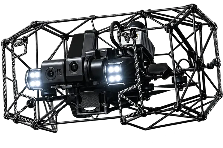
Confined Space Drone Inspections
Our confined space drones inspect tanks, vessels, silos, and other enclosed structures without the need for human entry, reducing exposure, access preparation, and downtime, while still delivering detailed 4K imagery and precise, defensible inspection evidence.
Ultrasonic Leak Detection
Compressed air leak and gas detection using ultrasonic technology. Non-intrusive throughout, systems remain fully operational during the survey, with minimal disruption to your site.
Thermographic Inspection
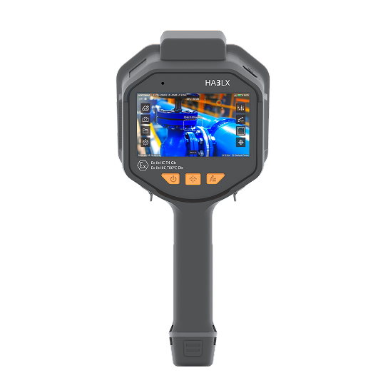
High-resolution infrared cameras reveal temperature variations across equipment and infrastructure, identifying heat anomalies, insulation issues, and developing faults before they escalate.
LiDAR Inspections
LiDAR captures millions of data points per second to build precise 3D maps of your site. Available handheld or aerial, delivering accurate, defensible data for planning and asset management.
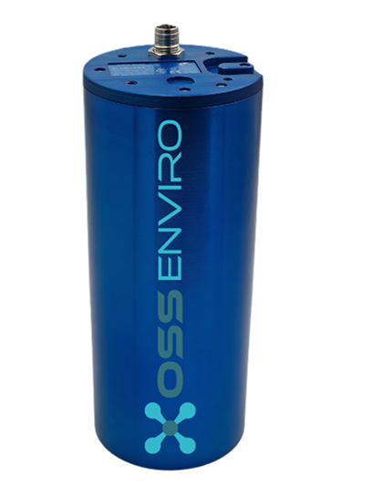
Through our strategic partnership with OSS Enviro, we deliver innovative inspection services and technologies tailored to the oil and gas, energy, and industrial sectors.
Our offerings include Leak detection and repair (LDAR) services, Ultrasonic leak detection, Drone inspections, Confined-space drone inspections, Thermographic inspections, and LiDAR surveys, providing accurate, safe, and cost-effective solutions for asset monitoring and environmental management.
Leak Detection & Repair (LDAR)
Identifying, quantifying, and reporting fugitive emissions using Optical Gas Imaging (OGI), giving clients the accurate data they need to manage repairs and stay compliant with permit conditions and regulatory requirements.
Drone Inspections
Our drone survey capability allows us to access hard-to-reach infrastructure, cover large site areas efficiently, and deliver accurate, actionable data across a wide range of applications, from LDAR and emissions mapping to thermographic inspection, LiDAR surveying, asset inspection, and solar PV surveys. Operated by our qualified and experienced drone pilots.
Confined Space Drone Inspections
Our confined space drones inspect tanks, vessels, silos, and other enclosed structures without the need for human entry, reducing exposure, access preparation, and downtime, while still delivering detailed 4K imagery and precise, defensible inspection evidence.
Ultrasonic Leak Detection
Compressed air leak and gas detection using ultrasonic technology. Non-intrusive throughout, systems remain fully operational during the survey, with minimal disruption to your site.
Thermographic Inspection
High-resolution infrared cameras reveal temperature variations across equipment and infrastructure, identifying heat anomalies, insulation issues, and developing faults before they escalate.
LiDAR Inspections
LiDAR captures millions of data points per second to build precise 3D maps of your site. Available handheld or aerial, delivering accurate, defensible data for planning and asset management.
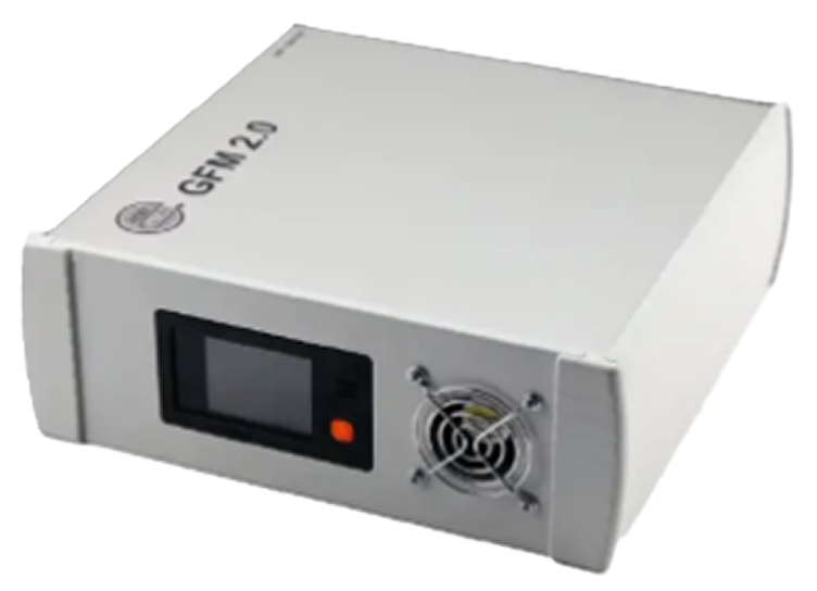
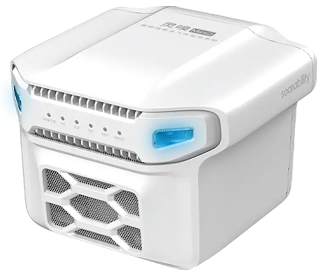
Our Products